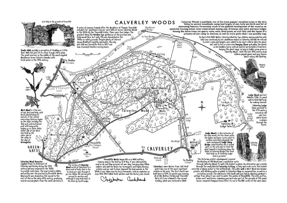
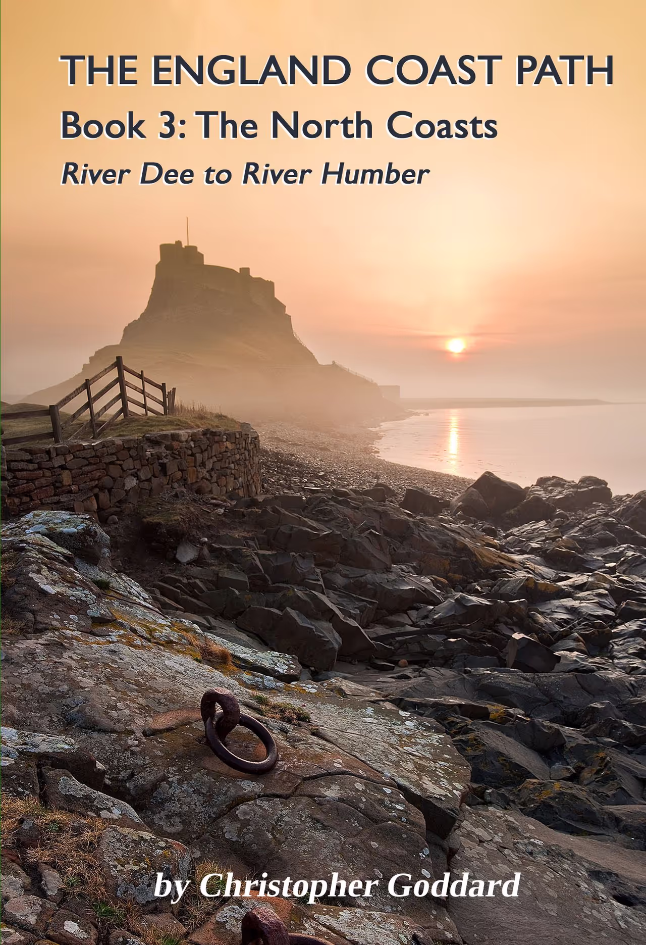
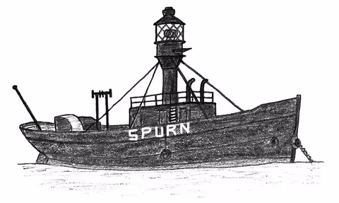
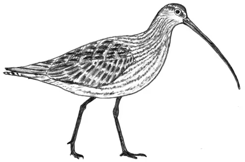
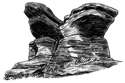
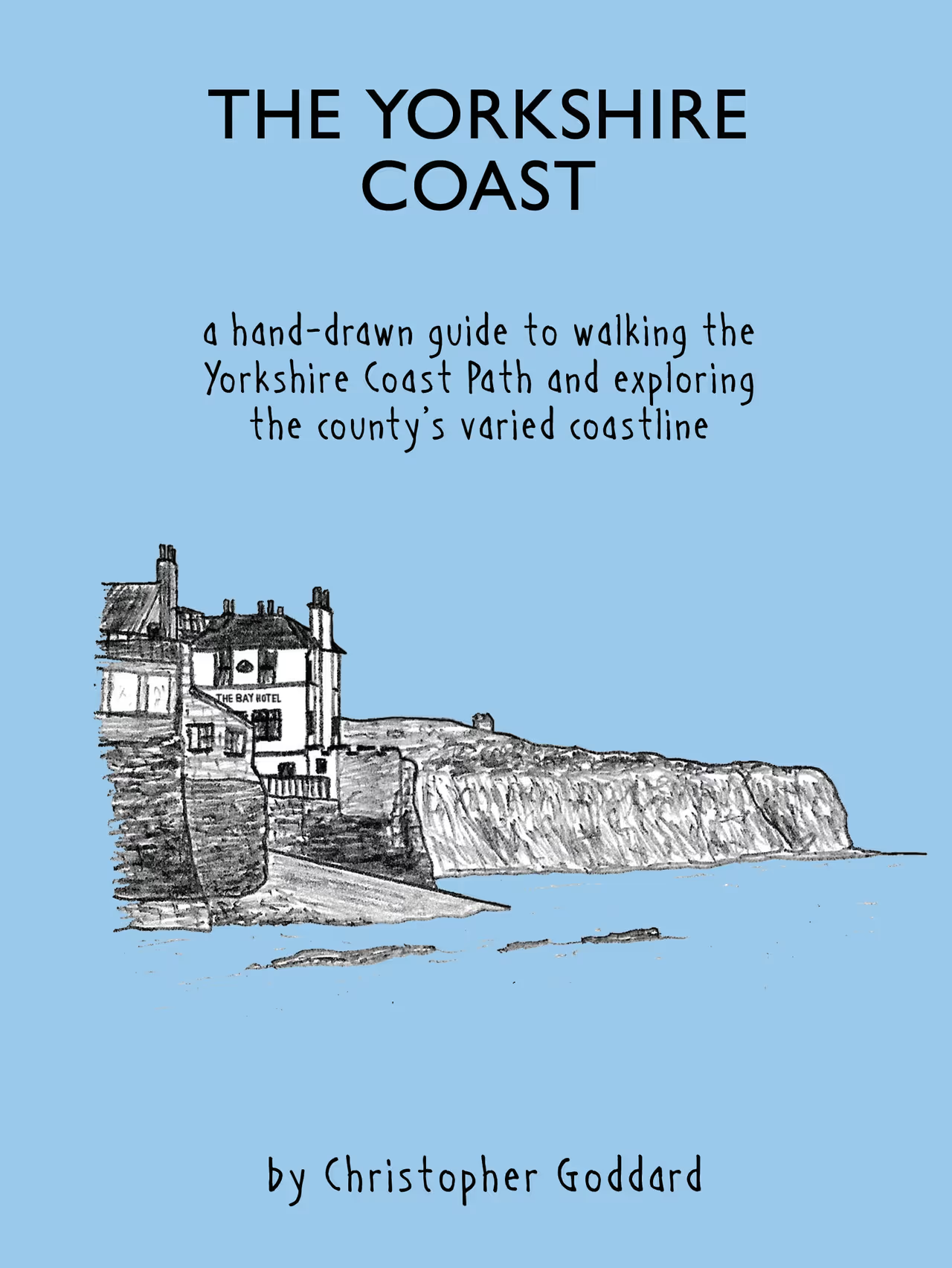
The England Coast Path Book 1
After nearly 10 years of work, the first guidebook to walking part of the England Coast Path is finally here. It focuses on 700 miles of the South Coast between London and Exmouth.
Book 1 Available NowGET THE LATEST NEWS BY CATCHING UP WITH CHRIS’ BLOG

A Walking Guide to Haworth
Chris' brand new colour map and guide to exploring the area around Haworth
Map Now Available Here
‘THE West YORKSHIRE Woods Part II: THE AIRE VALLEY’
The West Yorkshire Woods Part II is Chris’ latest hand-drawn guide as he returns to the West Yorkshire landscape and the woods of the Aire Valley. The book covers everything from Castleford to Silsden, including much of Leeds, Bradford, Shipley, Bingley and Keighley. Within and between these urban areas is a surprising abundance of wooded landscapes, from grand parks and plantations to swathes of ancient coppiced woodland. This book maps them out and provides a wealth of information on their rich history, as well as the flora, fauna and fungi that can be found here. Over twenty suggested walks are included, all accessible by public transport. Intricate maps detail interesting new routes through these woodland landscapes, often straying from the beaten path.

‘THE SOUTH YORKSHIRE MOORS’
The South Yorkshire Moors is Chris’ third hand-drawn guide and first outside West Yorkshire. Here he returns to the landscape of his youth to explore the moors around Sheffield and northern Derbyshire, covering Stanage, Burbage, Howden, Derwent, Bleaklow, Kinder and the Eastern Moors. There are 35 moorland maps, 21 suggested routes, 100s of sketches and a wealth of additional information about the history, wildlife, folklore and geology of the area. Although this is a well-known and often-covered area, The South Yorkshire Moors provides a dizzying level of detail and seeks out the Dark Peak’s hidden corners and less frequented routes.

‘The CRAGG VALE COINERS’ WALK’
Inspired by the real-life story of the Cragg Vale Coiners this route takes in several key locations that feature in the acclaimed novel The Gallows Pole, which charts the rise and fall of ‘King’ David Hartley and an 18th century criminal enterprise that rocked the national economy.
It begins in the heart of Mytholmroyd and rises up through the beautiful woodlands of Bell Hole (now Broadhead Clough) before approaching Bell House, Hartley’s remote home on the edge of Erringden Moor. Extracts from the novel can be read in the locations where real-life events took place in the 1760s, while additional notes and sketches offer a deeper understanding of life in this unique corner of Yorkshire.
A unique collaboration between novelist Ben Myers and cartographer Christopher Goddard, the diverse route takes in ancient woods, moorlands, stunning views and haunts of the murderous Cragg Vale Coiners, and can be enjoyed by readers and walkers alike.

‘The Calder Woodland Way’
To draw attention to the generally wooded nature of the Calder Valley, the author has devised a new long distance path up its course, The Calder Woodland Way. Inspired by a train journey along the Caldervale Line, this 23½ mile route traces a lush green line between Brighouse and Walsden and takes in many of the area’s finest woods. It forms a natural companion to The West Yorkshire Woods book and is available in the form of a separate foldout map.

About Christopher Goddard
Christopher Goddard was born in Sheffield and now lives in Hebden Bridge with his partner Caroline and dog Alfie. An obsessive cartographer, he has been drawing maps for as long as he has been able to hold a pencil. His work as a Rights of Way and National Trail surveyor has taken him to many of the most beautiful parts of the British Isles, including the Lake District, the Scottish Highlands and the Cambrian Mountains. He began writing walking books in 2006, and to date has published three books; The West Yorkshire Moors (2013); The Wales Coast Path (2014); and The West Yorkshire Woods: Part 1 (2016). Read more.