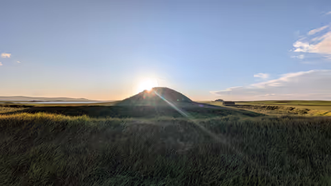
Just ten minutes after driving off the ferry at Stromness I’m standing on top of Maeshowe looking at one of the most awe-inspiring prehistoric landscapes in the world. Caroline made the mistake of letting me choose what we’re doing this evening, so she’s sitting in the van reading while I’ve jumped over one gate and another barbed-wire fence to scale this twenty-four-foot high Neolithic burial chamber. My smart mauve trousers are splattered in mud and the cows in the field are making a hell of a din, spooked by my intrusion. But I’m beyond excited to be here.
I read every word of the display, desperate to stay a little longer, before finally descending the fields towards the sea. The sheep have hunkered down in the lee of an old hedgeline and the wind buffets me violently at every step while sporadic raindrops sting my face. Down by the shore the waves crash into the grey alum-scarred cliffs and the sea is a whorling mass of white surf as far as I can see (which is not that far, nearby Sandsend reduced to a grey smudge). Instead the grey of sky and sea merges and the rain quickly forces me to turn away.
I have spent the last couple of weeks touring around the whole south west coast from Bristol to Land’s End and back to Southampton. The primary goal was to spread the word about my new book on the south west part of the England Coast Path (link). As ever I have been wonderfully surprised by the support I have received from small outlets – independent book shops, gift shops, museums and information centres – who have stocked a book by someone just walking in off the street carrying a box. In fact I’ve found this approach works better than phoning ahead, emailing information and trying to set up meetings. As long as the right person is there, they open the box with fresh eyes and I love watching their joy at leafing through my books, finding their own local of the path, then being delighted at some nugget of information or choice of song for the day. But the trip has also given me time to revisit some of my favourite places at a time of year when spring is trying to blossom fully and the south west, while still blissfully quiet, is just starting to feel like paradise. Here are some postcards from these places along the south coast of Cornwall, Devon and Dorset.
I have spent the last couple of weeks touring around the whole south west coast from Bristol to Land’s End and back to Southampton. The primary goal was to spread the word about my new book on the south west part of the England Coast Path (link). As ever I have been wonderfully surprised by the support I have received from small outlets – independent book shops, gift shops, museums and information centres – who have stocked a book by someone just walking in off the street carrying a box. In fact I’ve found this approach works better than phoning ahead, emailing information and trying to set up meetings. As long as the right person is there, they open the box with fresh eyes and I love watching their joy at leafing through my books, finding their own local of the path, then being delighted at some nugget of information or choice of song for the day. But the trip has also given me time to revisit some of my favourite places at a time of year when spring is trying to blossom fully and the south west, while still blissfully quiet, is just starting to feel like paradise. Here are some postcards from these places along the north coast of Somerset, Devon and Cornwall.
North Devon has a plethora of beautiful corners, but I have a particular soft spot for Lee Bay. There are few places on the south west coast that are as low key. Perhaps it is because there is no sand on its shore that people flock instead to nearby Woolacombe. On a sunny Sunday like this, the road to Woolacombe is busy all morning, the car parks and roadsides filling up with cars and vans disgorging children, surfboards and picnics. The road to Lee on the other hand is a tiny lane that winds down through the trees and cottages to a small free car park near the front.
Writing a blog about one of the proposed sites of the turbines on the Calderdale Wind Farm is right up my street, an excuse to explore and a chance to gather my thoughts about the proposed wind farm. I have chosen to focus on Turbine 34, one of the most remote turbine sites, a long way from any paths and located on featureless ground between Walshaw Dean and the head of Crimsworth Dean.