The England Coast Path's South West Frontier
Share this page

'She led the way out of the lane and across some fields in the direction of the cliffs... they both followed an irregular path, which ultimately terminated upon a flat ledge passing round the face of the huge blue-black rock at a height about midway between the sea and the topmost verge. There, far beneath and before them, lay the everlasting stretch of ocean; there, upon detached rocks, were the white screaming gulls, seeming ever intending to settle, and yet always passing on. Right and left ranked the toothed and zigzag line of storm-torn heights, forming the series which culminated in the one beneath their feet.'
Thomas Hardy, A Pair of Blue Eyes
The south west of England is its wildest peninsula, stretching furthest west and south and reaching further into its Celtic past. Here a Celtic language survived far longer than in the rest of the country, only dying out in the west of Cornwall in the late 19th century, and its words remain preserved in local place-names and its culture in the many prehistoric sites scattered across the region. With travel by sea easier than by land, the south west was for a long time more closely linked with south Wales, Ireland and Brittany than it was with the rest of England, and that probably suited it very nicely.
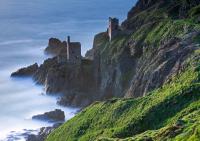
Unfortunately, it was also a land rich in natural resources, including tin, copper, lead, silver, antimony and slate. Cornwall and Devon represented the largest source of tin in Europe and the widespread advances of the Bronze Age were not possible without tin from the south west. These resources were likely one of the primary motivations for the Roman invasion of Britain, and continued to drive waves of exploitation until alternative reserves were discovered in the New World in the mid 19th century. The mining industry shaped both the landscape and people of the region, as did the china clay industry around St Austell, though this valuable resource was not discovered until the 18th century.

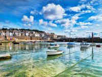
Many of the coastal villages of the south west relied on the fishing industry, particularly the vast shoals of pilchards that were brought in on warm Gulf Stream currents. Though larger harbours had fleets that sailed to more distant waters for herring and mackerel, the entire economy of smaller villages was lost when pilchard numbers started to dwindle in the 18th century. In many places smuggling took over as a way of life for whole villages with little else to cling to. High taxation levels on everyday items resulted in salt, leather and soap being imported illegally alongside alcohol and tea. At its peak in the 1770s, it is estimated that 470,000 gallons of brandy a year were being smuggled through Cornwall every year. The coast path owes its existence in many places to the paths created by excise authorities to keep an eye on smuggling activity at remote coves and beaches.
Smuggling wasn’t the only use for the south west’s remote coves. Sand and seaweed were collected from beaches and foreshores, and in many places cartways, or even tunnels, were cut through the rock to allow access. Sand was used as bedding and seaweed as a fertiliser on the naturally acidic fields of the region. Once limestone could be imported from south Wales or Dorset by the 18th century, this was burned in kilns on the shore and transported inland as quicklime, a superior fertiliser. Several canals and roads were built to service this industry, and many havens around the south west still have the remains of their limekilns.
The romanticisation of the south west’s coastline is a relatively recent phenomenon, first emerging in the early 19th century when the Napoleonic Wars restricted international travel. Tourism developed more widely with the expansion of the railway network, which reached Plymouth in 1848, Barnstaple in 1854 and Falmouth in 1859, and continued to grow throughout the 20th century, leaving this former industrial region with little to sustain it other than tourism. Despite its popularity and the tensions between the native population and the visiting ‘emmets’ and ‘grockles’, it is hard to deny the majesty of the coastal scenery that is met at every turn of the route of the England Coast Path through the south west. It remains a truly magical place.

The England Coast Path - Book 2: The South West Coast is the second in a series of four guidebooks, providing the most thorough information for walking the entire route. It covers over 650 miles around the south west of England from the River Exe at Exmouth to the River Severn at the Severn Bridge. Tracing the coastlines of Devon, Cornwall, Somerset and Avon, this spectacular route takes in some of the finest cliff scenery in the world, as well as verdant river estuaries, expansive beaches and a beautiful collection of resorts and harbours.
The south west section of the England Coast Path covered in my new book is not the same as the South West Coast Path, which has been a National Trail since its creation in stages during the 1970s. Although this book covers large parts of this trail, the first part of the South West Coast Path from Poole Harbour to Exmouth was included in The England Coast Path: Book 1, while Book 2 also includes what is a newly opened part of the England Coast Path from Minehead to the Severn Road Bridge. There are also several new and improved sections of path, as well as alternative routes where there were previously tidal sections or seasonal ferries.

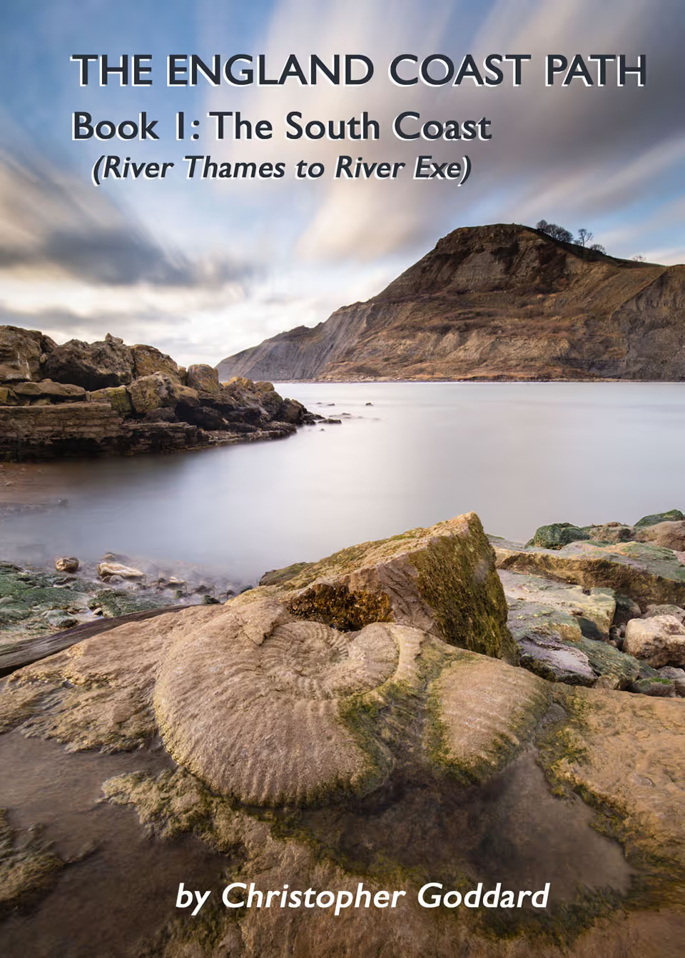
The England Coast Path - Book 1: The South Coast
£15.99A practical guidebook for walking over 700 miles of the England Coast Path from the River Thames to the River Exe. Starting in Woolwich and finishing in Exmouth, this book covers the coasts of Kent, Sussex, Hampshire, the Isle of Wight and Dorset.
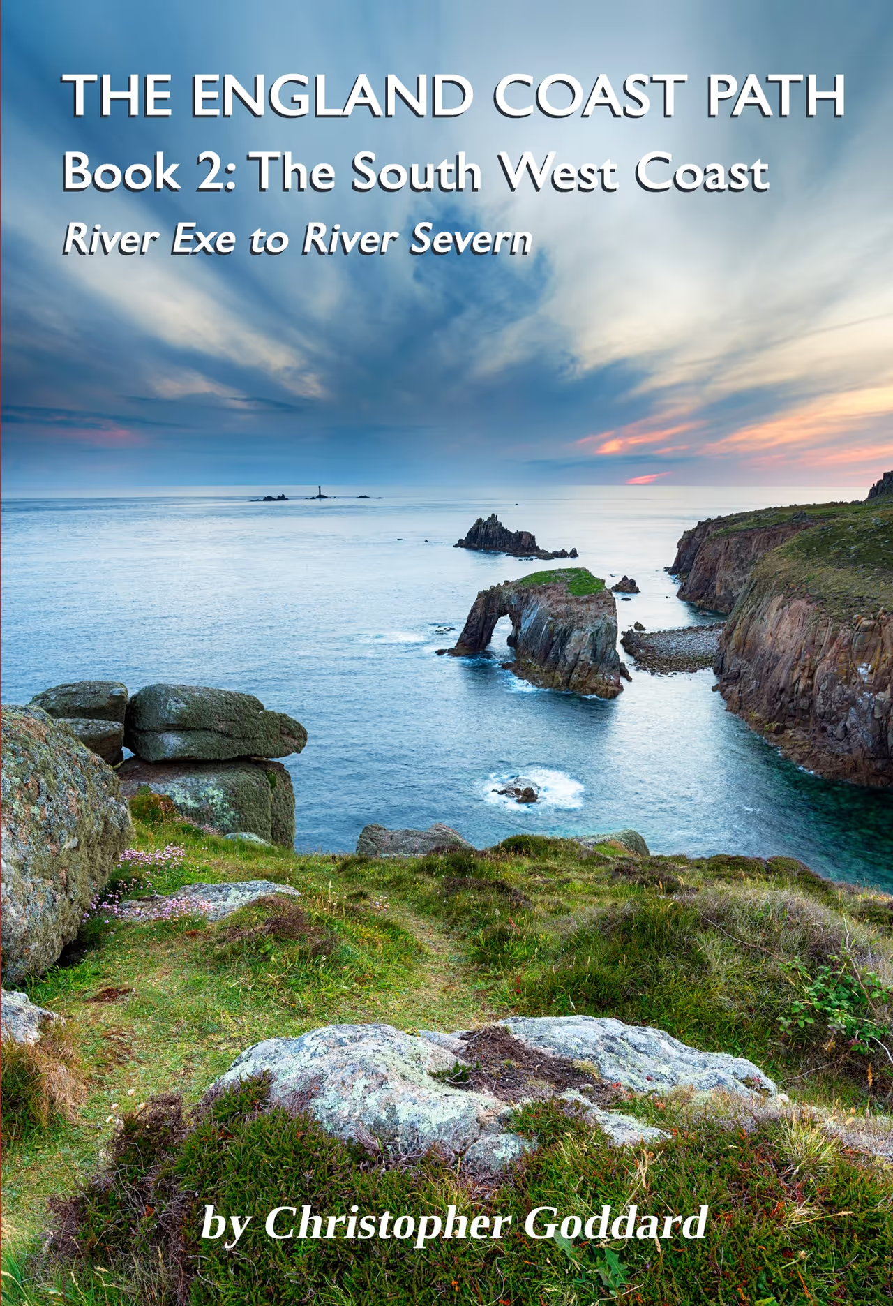
The England Coast Path - Book 2: The South West Coast
£15.99A practical guidebook for walking over 650 miles of the England Coast Path from the River Exe to the River Severn. Starting in Exmouth and finishing in Chepstow, this book covers the coasts of Devon, Cornwall, Somerset & Avon.

