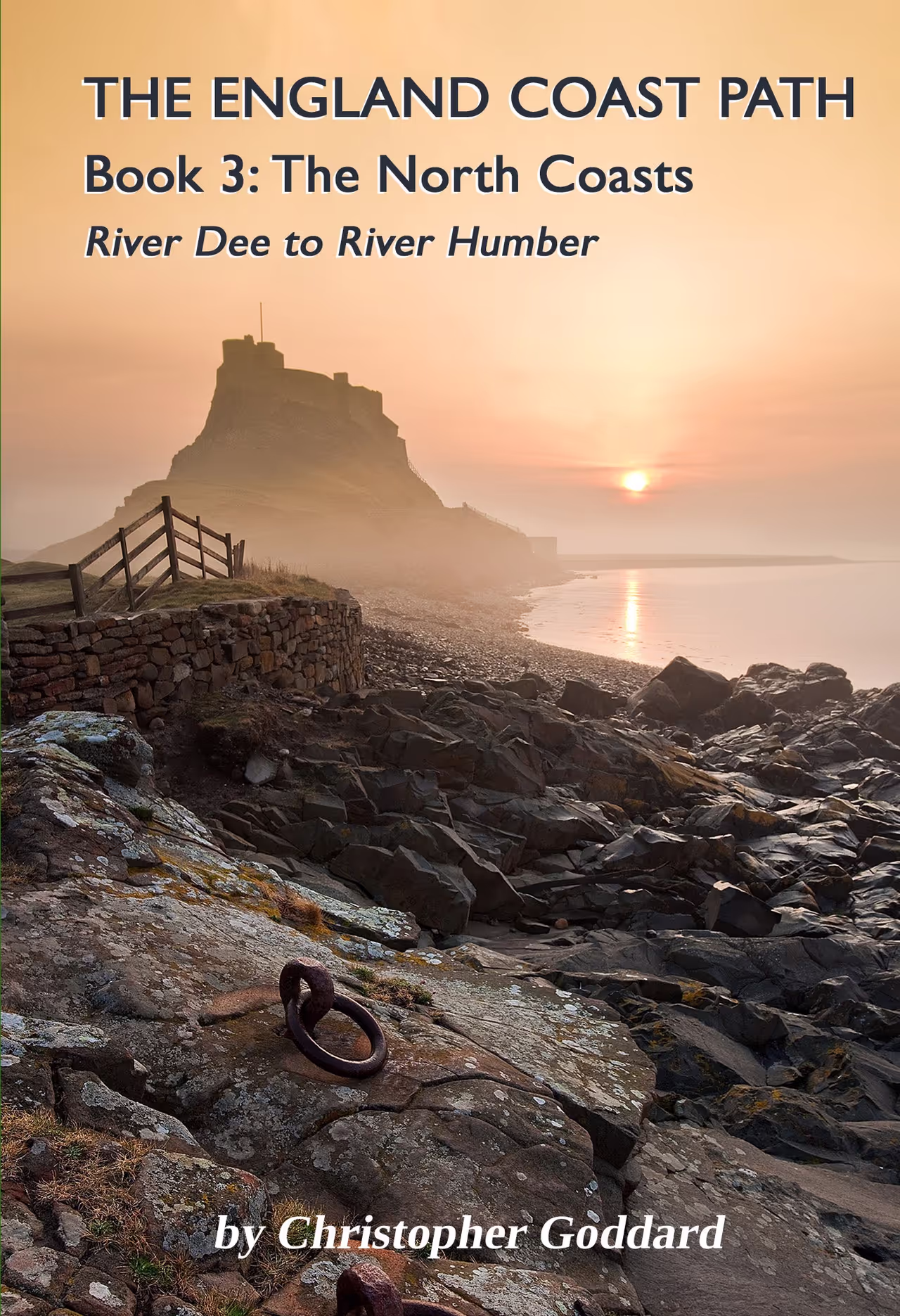
The England Coast Path - Book 3: The North Coasts
£15.99PUBLICATION DATE: 1st July 2026 - A practical guidebook for walking 700 miles of the England Coast Path from the River Dee to the River Humber. Starting at the Welsh border near Chester and finishing at the Humber Bridge, this book covers both the north west and north east coasts, including the coastlines of Merseyside, Lancashire, Cumbria, Northumbria, Durham, North Yorkshire and the East Riding of Yorkshire.
Share this page
The England Coast Path is a new long distance path around the whole coast of England. At 2,700 miles, it is the longest coastal path in the world and provides an important opportunity for exploring the peripheral landscape of this maritime country.
This is the third in a series of four guidebooks, providing the most thorough information for walking the entire route. It covers nearly 700 miles along the north west of England from the River Dee to the Solway Firth, and the north east coast from Berwick to the River Humber. Tracing the coastlines of Merseyside, Lancashire, Cumbria, Northumberland, Durham and Yorkshire, this varied route takes in high cliffs, vast beaches and dune systems, historic ports and wildlife-rich estuaries.
While the whole route has yet to be fully opened, this book provides alternative options for those few stretches that are not. There is a wealth of information on public transport, parking, accommodation, campsites, refreshments, and local history, as well as a song for each section of the route. Whether you’re walking the route in small sections or all in one go, this is the perfect companion to the England Coast Path.