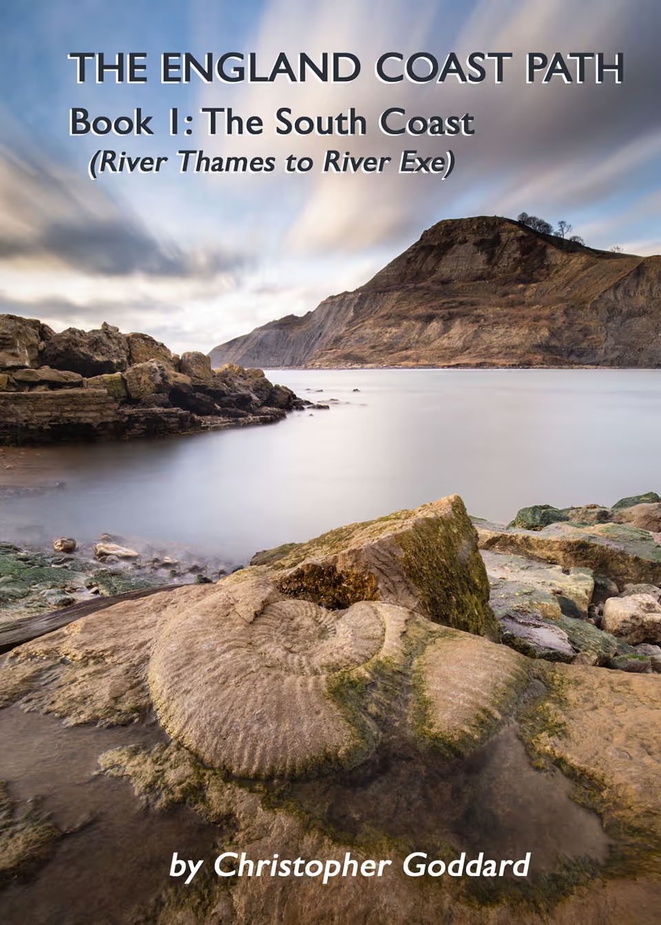
A practical guidebook for walking over 700 miles of the England Coast Path from the River Thames to the River Exe. Starting in Woolwich and finishing in Exmouth, this book covers the coasts of Kent, Sussex, Hampshire, the Isle of Wight and Dorset.
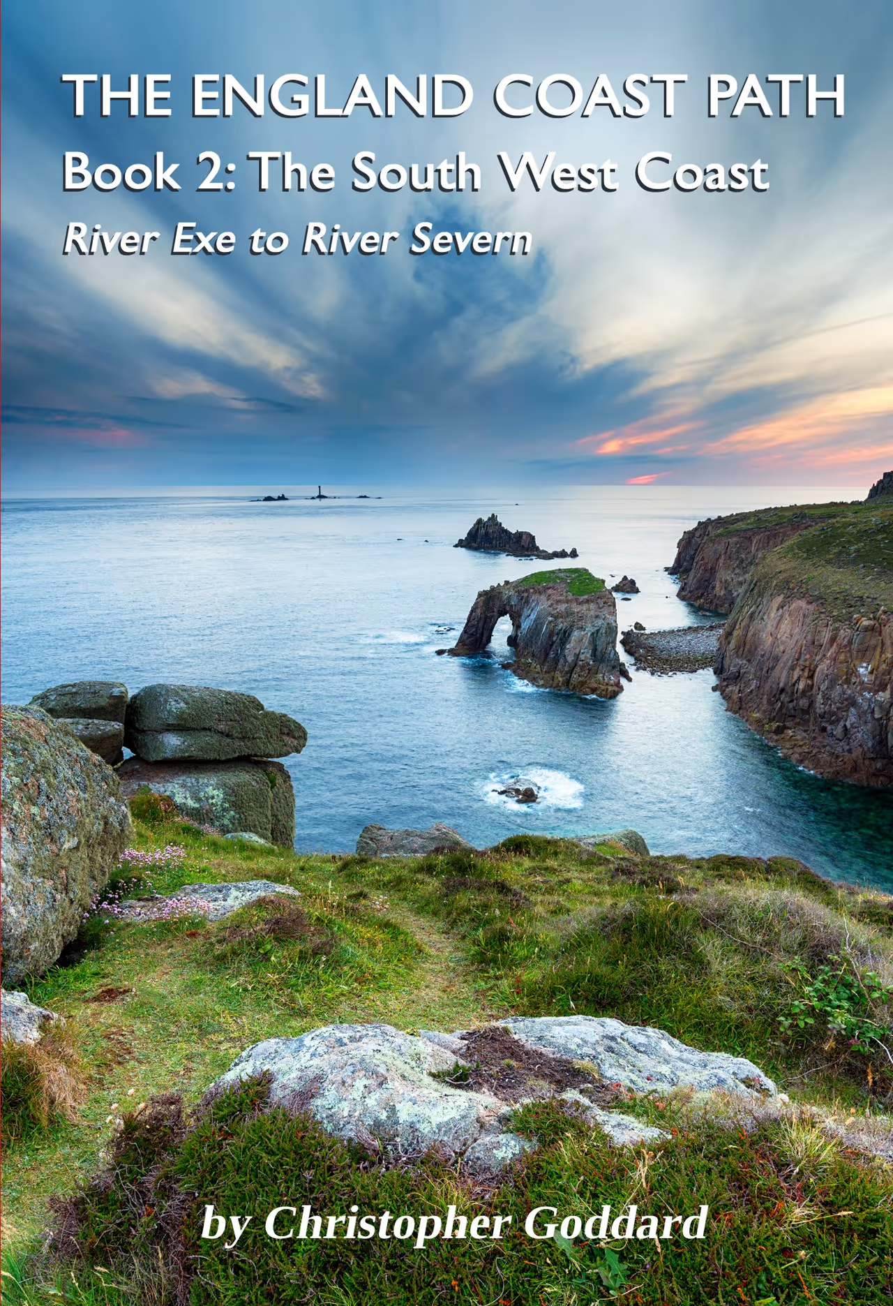
A practical guidebook for walking over 650 miles of the England Coast Path from the River Exe to the River Severn. Starting in Exmouth and finishing in Chepstow, this book covers the coasts of Devon, Cornwall, Somerset & Avon.
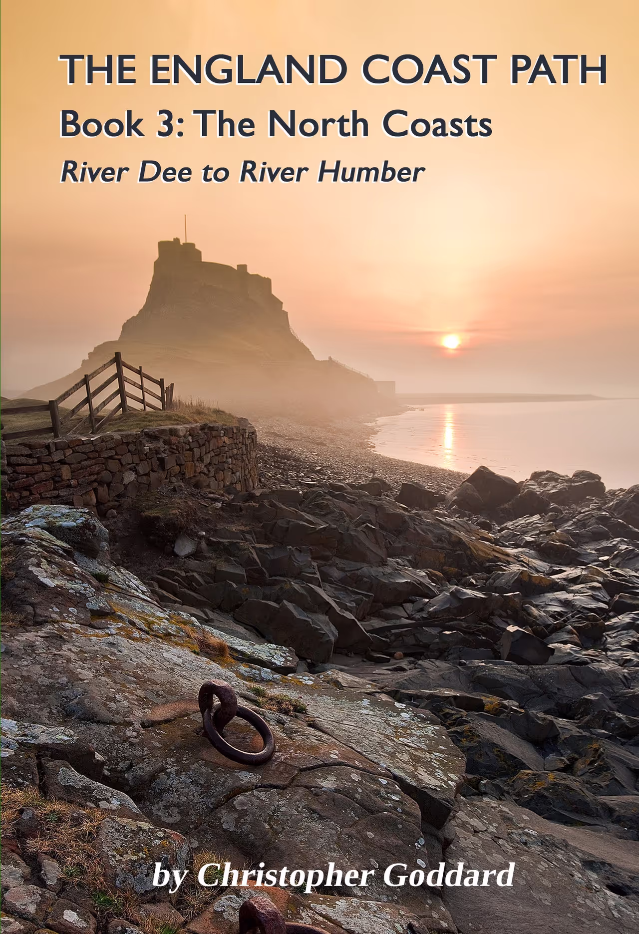
PUBLICATION DATE: 1st July 2026 - A practical guidebook for walking 700 miles of the England Coast Path from the River Dee to the River Humber. Starting at the Welsh border near Chester and finishing at the Humber Bridge, this book covers both the north west and north east coasts, including the coastlines of Merseyside, Lancashire, Cumbria, Northumbria, Durham, North Yorkshire and the East Riding of Yorkshire.
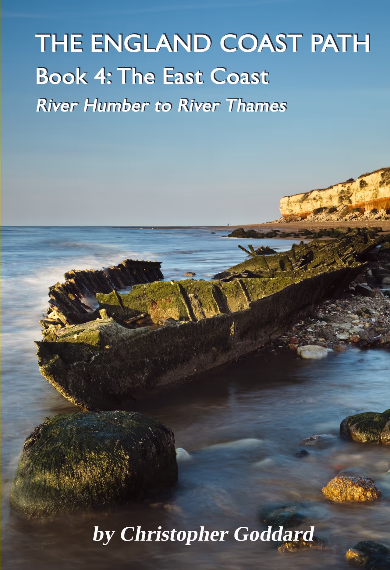
PUBLICATION DATE: 1st July 2026 - A practical guidebook for walking 650 miles of the England Coast Path from the River Humber to the River Thames. Starting at the Humber Bridge and finishing on the edge of London, this book covers the coastlines of Lincolnshire, Norfolk, Suffolk and Essex.
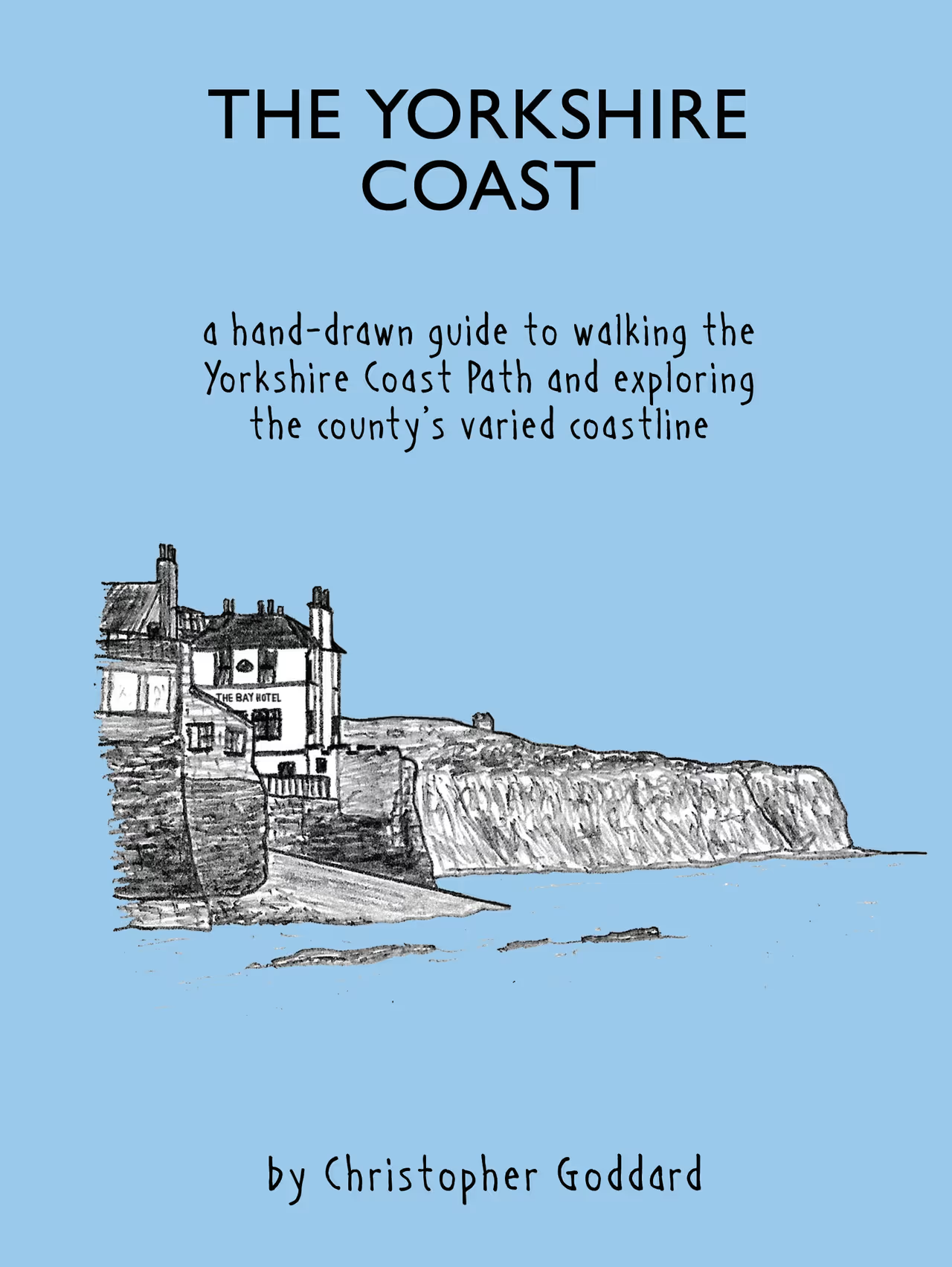
A brand new hand-drawn guide to walking the Yorkshire Coast Path and exploring the county’s varied coastline from the Tees to the Humber. You can follow the Yorkshire Coast Path or just explore the Yorkshire coast through North Yorkshire and the East Riding of Yorkshire.
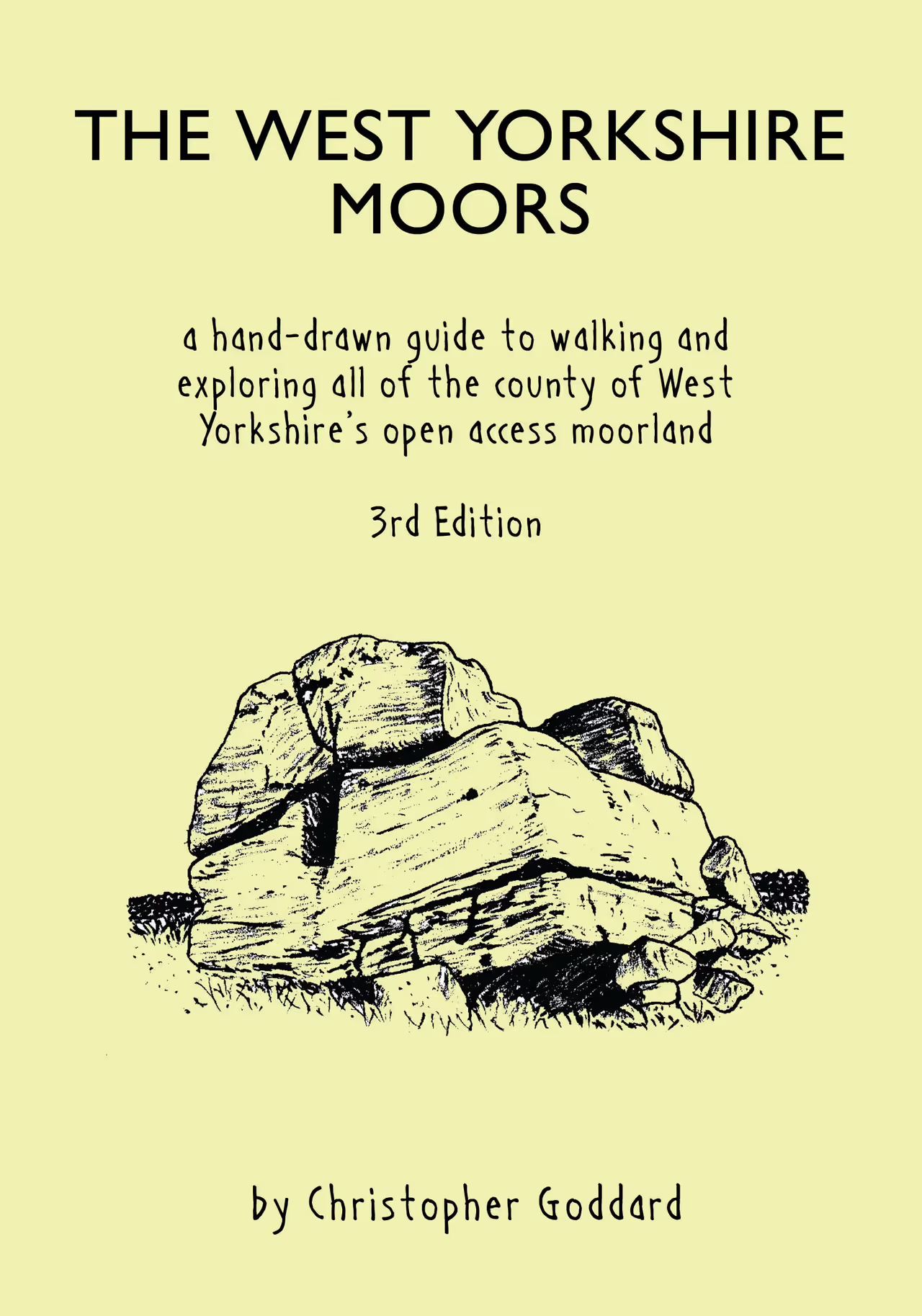
The West Yorkshire Moors is an original cartographic guide to the moorlands of West Yorkshire. The book traces old and new paths, unearths lost names and discovers hidden features on even the most apparently empty corner of these moors.
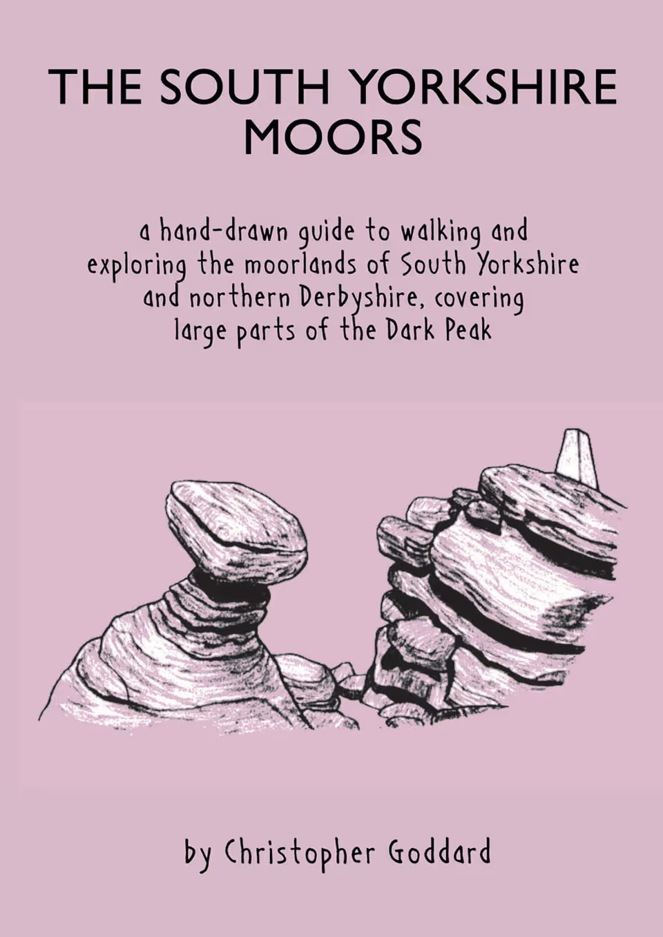
The South Yorkshire Moors is an original cartographic guide to the moorlands of South Yorkshire and part of northern Derbyshire. The book covers the open access moorland of Kinder Scout, Bleaklow, Howden, Derwent, Stanage and the Eastern Moors, seeking out less-travelled routes across these popular parts of the Peak District.
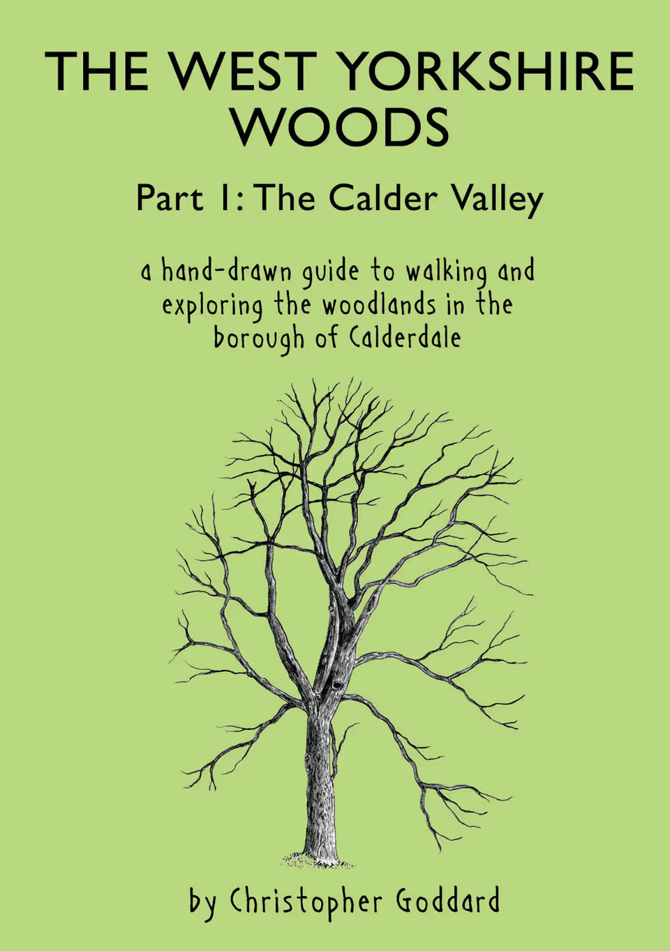
The West Yorkshire Woods Part 1 is an original cartographic guide to the Calder Valley’s woodlands. The book covers the rich variety of landscapes that lie between Norwood Green and Walsden, including Cragg Vale, Shibden Dale, Hardcastle Crags, and the Ryburn, Luddenden and Blackburn Valleys.
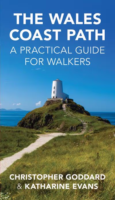
A detailed colour guide to the full 890-mile long distance trail of the Wales Coast Path from Chester to Chepstow. 2nd edition published December 2020.
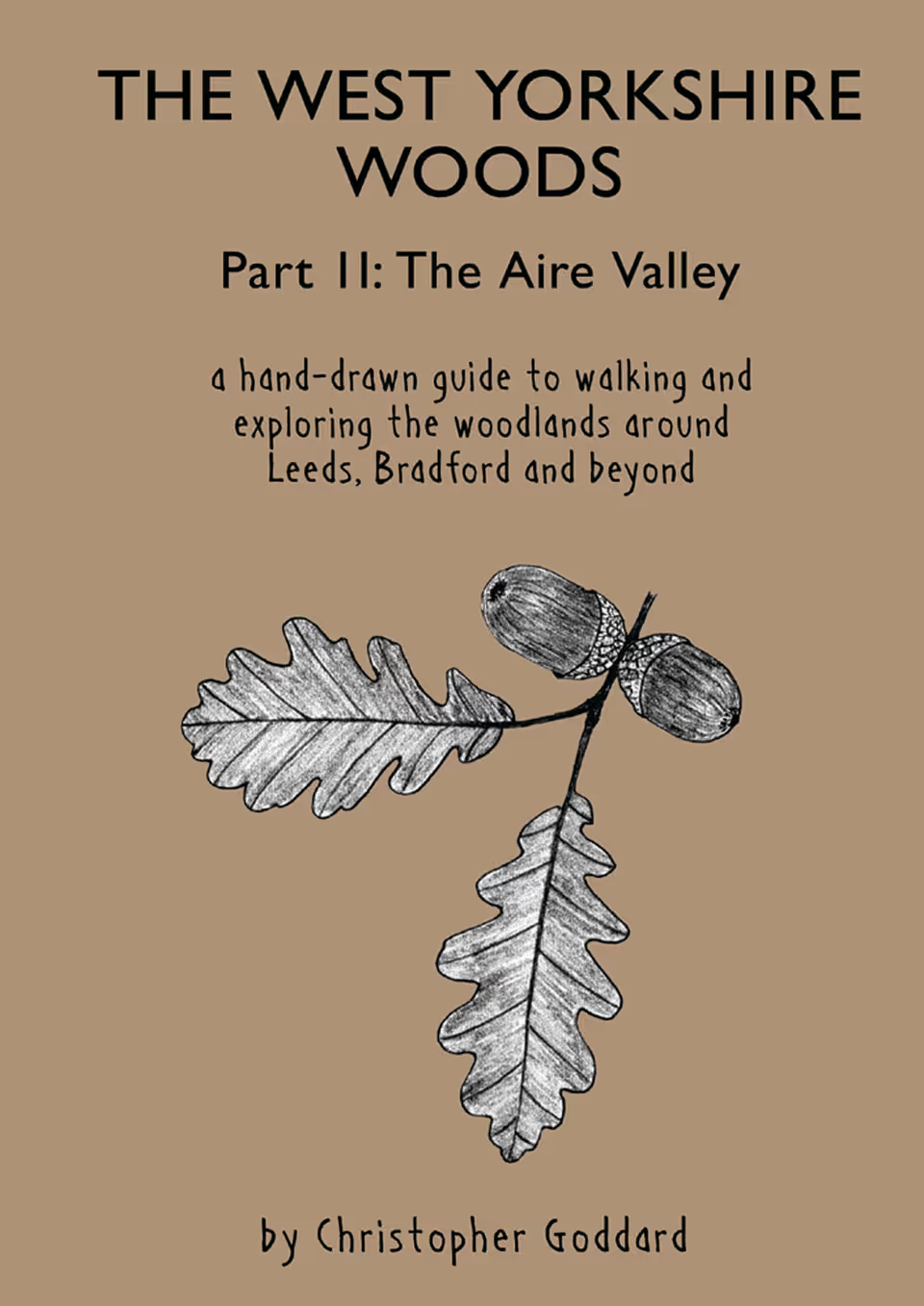
The West Yorkshire Woods: Part II is an original cartographic guide to the Aire Valley’s woodlands from Castleford to Silsden. It covers large parts of Leeds, Bradford, Shipley, Bingley and Keighley. Within and between these urban areas is a surprising abundance of wooded landscapes, from grand parks and plantations to swathes of ancient coppiced woodland.