Tied Up In Nottz
Share this page
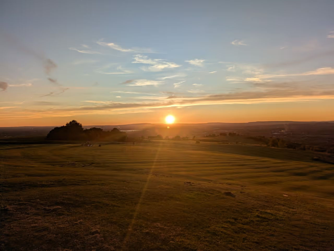
In 2013 Nottinghamshire County Council launched a marketing campaign with the slogan 'One Day in Notts is Never Enough', its muted ambition appearing simply to be to make you spend just one night in this unappreciated shire. Nottinghamshire is so muted an outsider might pass through rather than making it the end destination or drive its length on the A1 or M1 barely aware of having done so. Sandwiched between Yorkshire, Derbyshire, Lincolnshire and Leicestershire, it’s generally known only for the City of Nottingham and Sherwood Forest.
In the middle of trying to publish and promote my latest books, I found myself completing part of a large survey of all 3,000-plus kilometres of Rights of Way in the county. I was glad I only took on a third of the whole survey and was allocated the northern part of the county, spending much of my time between June and October roaming the trails of this gentle part of the country.
In my first week I realised how far removed north Notts is from Nottingham, which is located near the south end of this elongated county. Trying to go out in the city after work meant knocking off early and driving south for an hour to meet my fellow surveyors, so I resigned myself to spending more time in the twin market towns of Retford and Worksop, around which the medieval district of Bassetlaw is arranged. The whole area is divided by the A1 artery, which I crossed once on foot but otherwise managed to avoid. More of an obstruction was the busy East Coast Main Line that also bisects the area. Many of the level crossings are now closed for safety reasons, while any traffic on those that remain might have to wait at the barriers for up to twenty minutes, as train after train races by. More than once I gave up waiting at the Grove Road crossing in Retford, turning the van round to find another route, while I simply walked innocently across the crossing on Station Road in Ranskill to take a photo but found myself having to sit and eat my lunch before the barrier reopened.
Worksop, the administrative centre of Bassetlaw, is the larger and more industrial of the two towns. It is a largely uninspiring collection of housing estates that is nevertheless surrounded by some of the finest remnants of Sherwood Forest and the grand estates of Osberton Hall, Welbeck Abbey and Clumber Park. Nearby Retford stands on the historic Great North Road and the East Coast Main Line and remains a regional hub for many of the district’s rural villages. It has a quiet red-brick charm and the sort of square with an imposing clock tower that would be a vibrant hub of cafe culture were it on the continent. The Chesterfield Canal meanders delightfully round the town centre, while the gentle River Idle cuts a slow reedy path between the formerly distinct villages of East Retford, West Retford and South Retford (the town's name is thought to refer to a reedy ford). It also has a fine array of craft beer bars, with Retford Craft House having one of the best selections of hop-forward ales and lagers I have found, so I’ve spent several nights parked up on the town’s quiet outskirts.

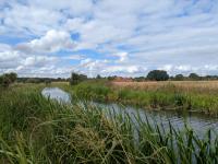
Nottinghamshire’s landscape, like most of the east of England, is dominated by gentle farmland. There are few steep slopes and the land rarely rises to more than 100m high, but in the main it is not a flat and characterless area. The far north of the county is the only truly flat area, lying east of Doncaster and bordering on the Yorkshire and Lincolnshire Fens around Hatfield Moors and the Isle of Axholme. Here the River Idle winds west then south from its junction with the River Trent, creating a broad swathe of marshy land running through the middle of Bassetlaw to Retford. Lined with nature reserves and bird-rich ponds, the River Idle is charming throughout; along with its upstream tributaries the Maun and Meden, it reminds me of the sort of reedy stream that emerges from the chalk downs of Wiltshire and Hampshire. Throughout this hot summer, it was the one stream I always thought looked appealing, its clear waters offering some of the only fresh water in the county. In Misterton, Misson, Mattersey and Lound it was a reassuring presence and an anchor in a landscape with new notable landmarks.
The River Trent defines the county boundary with Lincolnshire in the north-east of the county, a proper river with huge levees and a wide flood plain. In West Stockwith a spring high tide filled the river to the brim and, as the tidal waters continued to surge upstream, I wondered how much more it could take as even locals stood to marvel at the sight. Yet most of the summer the water was low down the muddy banks as sheep and cattle struggled to reach down to the water’s edge. Between Gainsborough and Newark there is a wonderfully remote stretch of river, with tiny dead-end hamlets like Littleborough, Laneham and Fledborough interspersed with huge power stations that are out of place in this subtle landscape. It is surprisingly pleasant walking, with only occasional fishermen parked in vans along the embankment for company. Venture off the A1 at North Muskham, Carlton or Sutton and you’ll find this charming river bank just a few hundred yards away.
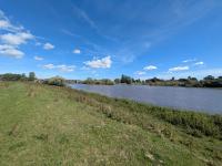
Between the Trent and the Idle there is a low range of hills that stretches from Gringley on the Hill to Tuxford. Though barely 80m high, these gentle wolds form a distinctive part of the north Nottinghamshire landscape. Gringley is a dizzying eminence when seen from the fens to the north, while heading east from Retford brings you steadily up the slopes until you are looking out across the broad Trent Valley towards Lincoln Cathedral, which stands proudly on the next line of low hills across the county line. A series of pleasant villages line the lee side of the hills, their windmills and church spires vying for attention with the power stations. What is surprising is that, though the county’s path network is generally very good, some of the worst paths are found in this area. The place I would choose to walk again seems relatively untrodden, with stiles broken down or clogged with vegetation and long fields of wheat or maize with no defined line across them. It has generally been so dry this summer that it has been simple enough to cross these vast fields, but when wet these ploughed fields can become great clods that anchor your boots to the earth or the waist-high crops quickly drench you to the skin.
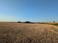
In the west, the Nottinghamshire coalfield reached north from Mansfield and Ollerton past Warsop, Worksop, Carlton and Blyth. Former pit villages dot a landscape of beautiful woodland and parkland, and it is here that the greatest remnants of Sherwood Forest remain. Though much of the former woodland has been replaced by coniferous plantations over the years, in Clumber Park and Sherwood Forest County Park ancient oaks still abound. The most famous of these, the Major Oak, was declared officially dead a week after I passed that way and observed the same, but you can still lose yourself deep in this forest and think of the lore it inspired. On Drinking Pit Lane, one of the long lonely bridleways that crosses the forest south of Worksop, I found myself descending through a deep cut in the soft sandstone that lies beneath the area but is rarely exposed on the surface. Realising immediately the long history of this route, I enjoyed the cool blast of rock amid one of the many heatwaves and lingered to imagine the fear of travelling on a rickety cart so deep in the woods with bands of outlaws lurking behind every tree. Far from the visitor centre trails of Sherwood Pines, the magic of these legendary trees can still be felt.
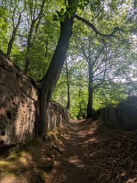
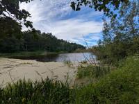
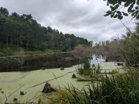
I have spent more time than I'd like trying to stay cool, relishing every opportunity to walk in the trees rather than cross the sun-beaten fields. Our pilot day in June was a complete washout, solid rain for 6 hours that drove us into the shelter of a cafe, but it turned out to be the last day of rain for over two months. The following day the sun came out as I passed an unmapped pond at Gosling Carr beside the River Meden and I relished its water glinting in the sun. By late August I returned to find a muddy waterless sludge with tree trunks previously invisible now dominating the scene (see the last photos below). So many of the grand buildings around Worksop, like Hodock Grange or Shireoaks Hall, have a Norman-inspired design and set amid bleached fields and beneath a baking sun looked for all the world like they were in rural France.
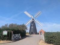
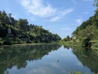
Throughout I have been pleasantly surprised by this unassuming corner of the Midlands. Welbeck Abbey, Hodsock Priory, North Leverton Windmill, Cresswell Crags and Mattersey Priory; magical rural churches at Babworth, Scofton, Clifton and Clayworth (home of the Traquair Murals), as well as a candidate for the ugliest church in the country at Carburton;leisurely towpaths; long viaducts across the River Trent; all roads leading to the charming coaching stops of Tuxford, Blyth or Bawtry; roe deer, rabbits, hawks, muntjac and even beavers for company. And I can only conclude that four months in Notts is not enough!